Confluence Park on the South Platte River bustles with river enthusiasts.

1 / 1

Hiking in Denver

With the Rocky Mountain foothills right next door, Denver is the perfect jumping-off point for jaw-dropping hikes just minutes from the city. Bonus: There are plenty of scenic trails within city limits when you’re short on time but still want to stretch your legs.

You don’t have to head deep into the high country to find wide-open views, peaceful forests and rewarding climbs. From mellow loops to challenging inclines, the trails near Denver offer options for all skill levels. And if you’re staying close to downtown, there are plenty of scenic urban paths and park trails to enjoy, too. Whatever your pace, fresh air and Colorado beauty are always within reach. While a bounty of trails await in and near the Mile High City, read on for some locals' favorites.


Hiking Near Denver

Seek out these routes within a 30- to 60-minute drive from Denver.

Bear Creek Trail

Where: Lair o’ the Bear Park, Idledale (between Evergreen and Morrison, about 40 minutes from Denver)
Length: 1.5 miles one way
Difficulty: Easy

This family-friendly route takes hikes along a shaded, crushed-gravel path alongside a creek. Bring a fishing pole (and your fishing license) to fish for catfish and trout at the water’s edge or visit in the morning to spy on beavers.

Lake Ladora Loop Trail

Where: Rocky Mountain Arsenal National Wildlife Refuge, Commerce City (about 25 minutes from Denver)
Length: 2-mile loop
Difficulty: Easy

The Rocky Mountain Arsenal National Wildlife Refuge is a former army base turned over 15,000-acre urban nature sanctuary for bison and more than 330 other animal species. Lake Ladora Loop, part of the 20-mile trail system, is a trek along the water’s edge with opportunities to spot waterfowl, raptors and deer.

South Rim Loop

Where: Roxborough State Park, Littleton (about 45 minutes from Denver)
Length: About 3-mile loop
Difficulty: Moderate

Ancient, gravity-defying red rock formations are the centerpiece of Roxborough State Park, where you can choose from has seven hiking trails. To take in wide-angle views of the sandstone formations, hop on the South Rim Loop, which winds through varied landscapes, from rocky outcrops to shaded forest.

Chief Mountain Trail

Where: Off Squaw Pass Road, Idaho Springs/Evergreen (about 1 hour from Denver)
Length: About 3 miles out and back
Difficulty: Moderate

Chief Mountain Trail features steep switchbacks through woodland and access to breathtaking sights of the alpine tundra and surrounding peaks. The route to the summit requires 1,000 to 3,000 feet of elevation gain, so be prepared to bring plenty of water and sturdy hiking boots.

Green Mountain Loop

Where: City of Boulder Open Space and Mountain Parks (about 1 hour from Denver)
Length: 5 to 7 miles, depending on the exact route you choose
Difficulty: Strenuous

This popular, challenging route boasts photo-worthy views of the iconic Flatiron Mountains, massive sandstone slabs on the western edge of Boulder. While it takes hikers three to four hours to ascend the 2,500 feet to the summit, the vistas are worth the effort.
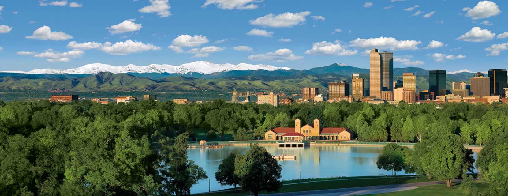
 

Hiking in Denver

The Mile High City’s vast trail network weaves through urban areas, neighborhoods and vast green spaces.

Ferril Lake Loop

Where: City Park
Length: >1 mile
Difficulty: Easy

This short, scenic loop circles Ferril Lake in Denver’s historic City Park, offering views of downtown, the Rocky Mountains and the park’s iconic pavilion. It’s a favorite for a leisurely walk, jog, or sunrise stroll. Benches and picnic spots make it easy to linger and enjoy the ducks, geese and calm waters.

Lowry Park Loop

Where: Lowry
Length:
2.5 miles
Difficulty: Easy

For those seeking nature and wildlife watching, the 2.4-mile Lowry Park Loop is in the floodplain of the Aurora-Kelley Road Reservoir and is a favorite for birders. On top of the dam, enjoy views of both downtown and the mountains.

Cherry Creek Trail

Where: From Confluence Park to Franktown
Length: 41 miles
Difficulty: Easy to Moderate

Starting at Confluence Park, where Cherry Creek meets the South Platte River, this multi-use trail runs southeast through Denver and into Arapahoe County. The paved path winds past urban murals, parks, and shopping districts like Cherry Creek North, offering a dynamic blend of nature and cityscapes.

High Line Canal Trail

Where: Multiple access points across the Denver metro area
Length: 71 miles
Difficulty: Easy to Moderate (depending on section)

Stretching from Waterton Canyon south of the city to Green Valley Ranch in northeast Denver, this extensive trail follows one of the longest urban canals in the United States. Enjoy cottonwood-lined paths, peaceful neighborhoods and sightings of deer, foxes and more than 200 bird species.

Denver Hiking FAQs

What seasons are best for hiking?

Spring through fall is prime hiking season in and around Denver. Late spring (May–June) brings mild temps, wildflowers and fewer crowds (just be prepared for muddy trails as snow melts). Summer (July–August) is gorgeous, but the weather can be hot and dry, especially at lower elevations, so early starts are your best bet. Fall (September–October) is a local favorite, thanks to cooler weather and golden aspen trees lighting up the foothills.

Can you hike in winter?

Hiking during the cold-weather months is possible if you’re prepared. Some trails near the city stay accessible year-round, especially on sunny days, but you may need traction devices or even snowshoes at higher elevations. Always check trail conditions before heading out, and dress in layers; the weather can change quickly in Colorado.

How do you manage the high altitude?

Denver sits at 5,280 feet above sea level, and many nearby trails climb even higher. If you’re coming from a lower elevation, it’s totally normal to feel a bit winded at first. Give your body time to adjust — plan for an easy hike, stay hydrated and skip alcohol until you’re acclimated.

What’s the best way to get to hiking trails?

One of the great things about hiking near Denver is how accessible it is — many trails are just a short drive from downtown. Just try to arrive early on weekends, as popular trailheads can fill up fast.

Don’t have wheels? No problem. Some city and foothills trails (like the Cherry Creek Trail) are reachable via public transit, ride-share or even by bike. And if you’re heading to more remote areas, consider renting a car for the day or using a car-share service. Pro tip: Always check for parking fees or trailhead-specific rules before you go.

Can I bring my dog?

That depends! Denver is a dog-friendly city and many trails welcome four-legged hikers, but leash laws and pet policies vary by area. Always check trail signage and rules before heading out and remember to bring poop bags and water.

Running Trails

Colorado State Parks

Family Friendly


Check-in → Check-out

Choose Deal

Guests

Find hotels with space to spread out, helpful perks, and easy access to family fun.

These Denver hotels double as art destinations, blending design and creativity into every stay.